Fishing maps
Our USA made maps are 3' X 2' waterproof, tear-resistant map. Folds to 9" x 4".
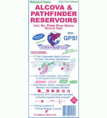
Alcova & Pathfinder Reservoirs, Including the North Platte River below Alcova Dam Updated in January 2022
All New! Added submerged weedbeds, submerged brush and trees, and submerged rock rubble reefs (indicating the variances between fair, good and excellent)
Updated fishing suggestions
Features:
5-foot underwater depth contours
Fish Habitat Identified: Rock Reefs, Submerged Brush and Weedbeds
Fishing Suggestions and a Fishing Strategy Included
Numerous GPS Coordinates Identified and Latitude/Longitude Grids Included
Boat Ramps, Roads and Facilities Identified
Boysen/Greyrocks Updated 2021
- Added Fish Habitats: Rock rubble reefs and submerged brush to both lakes
- Added Fishing Strategy to Grayrocks
- Added a new color, green
- Added artificial humps to Grayrocks
- Added GPS locations to Grayrocks
- Added longitude and latitude grids to Grayrocks
- Added Fishing Strategy to Grayrocks
- Upgraded fishing suggestions to Boysen
Flaming Gorge/Green River
3' X 2' waterproof, tear-resistant map. Folds to 9" x 4".
Updated February 2019
• Fish habitat added (weedbeds, rock rubble reefs)
• Updated Fishing Locations and Fishing Strategy
• Roads Updated
• Now a multi-color map

